Back
to Top

 
  • Share this page on Facebook
  • Print this page
 Geological Parish Plans - Published

Geological Parish Plans - Published


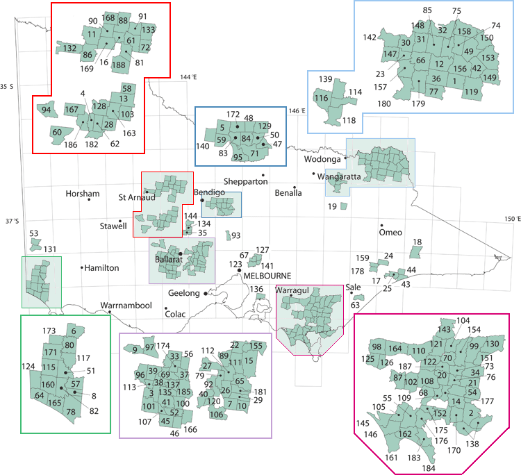
The published geological parish plan series were produced in the second half of the 19th and first half of the 20th centuries. They are 40 chains to 1 inch (1:31 680) scale maps. Map 29 was not published see map 10 which covers this parish.


Product 181 to 187 of 187
Page:  <  1  2  3  4  5  6  7  8  9  10
182 - Yalong geological parish plan - 1:31 680 (1958)

More Info
  182 - Yalong geological parish plan - 1:31 680 (1958)
Download  Free
183 - Yanakie geological parish plan - 1:31 680 (1927)

More Info
  183 - Yanakie geological parish plan - 1:31 680 (1927)
Download  Free
184 - Yanakie South geological parish plan - 1:31 680 (1927)

More Info
  184 - Yanakie South geological parish plan - 1:31 680 (1927)
Download  Free
185 - Yarrowee geological parish plan - 1:31 680 (Undated)

More Info
  185 - Yarrowee geological parish plan - 1:31 680 (Undated)
Download  Free
186 - Yehrip geological parish plan - 1:31 680 (1895)

More Info
  186 - Yehrip geological parish plan - 1:31 680 (1895)
Download  Free
187 - Yinnar geological parish plan - 1:31 680 (1921)

More Info
  187 - Yinnar geological parish plan - 1:31 680 (1921)
Download  Free
188 - Moliagul geological parish plan - 1:31 680 (1899)

More Info
  188 - Moliagul geological parish plan - 1:31 680 (1899)
Download  Free

Product 181 to 187 of 187
Page:  <  1  2  3  4  5  6  7  8  9  10