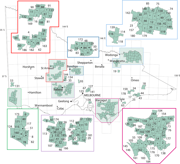
 | Geological Parish Plans - Published |
The published geological parish plan series were produced in the second half of the 19th and first half of the 20th centuries. They are 40 chains to 1 inch (1:31 680) scale maps. Map 29 was not published see map 10 which covers this parish.  |

